📍 51, P.G. Enclave, City Centre, Gwalior (M.P.) 📞 +91 9893867196 ✉️ admin@ashokageotechconsultants.in
GSTIN: 23AANCA68681 CIN: U74200MP2013PTC031620

Land & Topographic Surveying

High-Precision DGPS & Total Station Surveys for Infrastructure & Real Estate.

LAND SURVEYORS & CONSULTANTS

Advanced Geospatial Mapping & Site Demarcation

Accurate spatial data is fundamental to master planning, land development, civil infrastructure, and legal boundary definition. Ashoka Geotech Consultants utilizes state-of-the-art Electronic Total Stations (ETS) and Differential GPS (DGPS) equipment to execute high-accuracy land surveys across Madhya Pradesh.
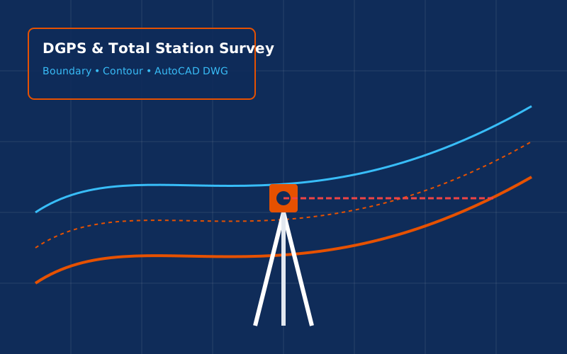

Our Specialized Survey Capabilities:

  • 📍 DGPS & Satellite Surveying: Geodetic control positioning and high-accuracy geo-referencing.
  • 📐 Topographical & Contour Surveying: Elevation mapping, spot levels, grid surveys, and Digital Elevation Models (DEM).
  • 🛣️ Corridor Alignment Surveys: Linear route mapping for highways, pipelines, transmission lines, and railway tracks.
  • 🚜 Earthwork & Volume Calculations: Cut-and-fill volume estimations for excavation and mining projects.
  • 🏗️ Building Layout & Grid Stakeout: Precise transfer of architectural grid lines onto construction site ground.
Book a Survey Team
Land Surveyor Total Station

Deliverable Formats Provided:

  • AutoCAD Drawings (.DWG / .DXF) with 3D Contours
  • GIS Shapefiles (.SHP) & GeoTIFF Maps
  • Digital Topographic Sheets & Printed Blueprints
  • Cut & Fill Quantity Computation Reports